Bonneville Salt Flats
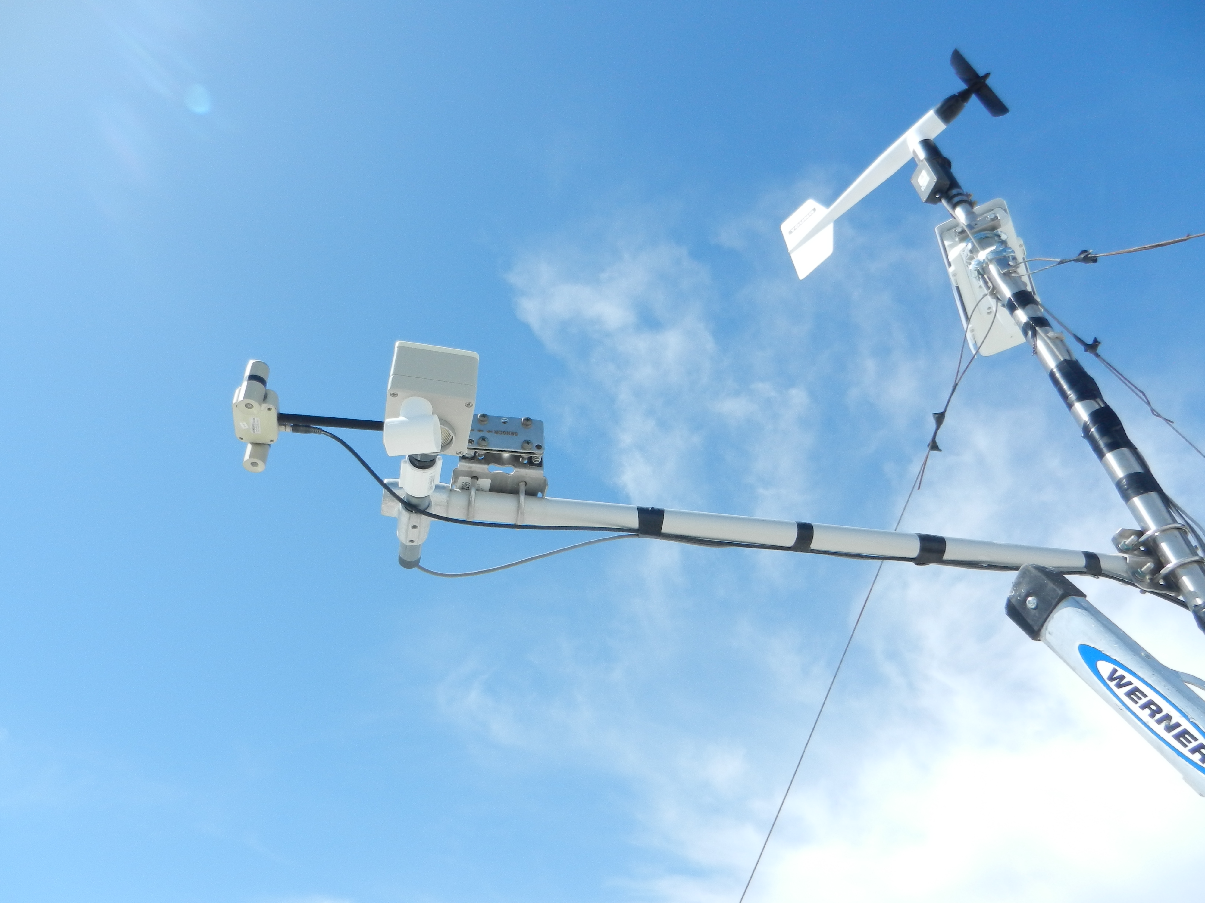
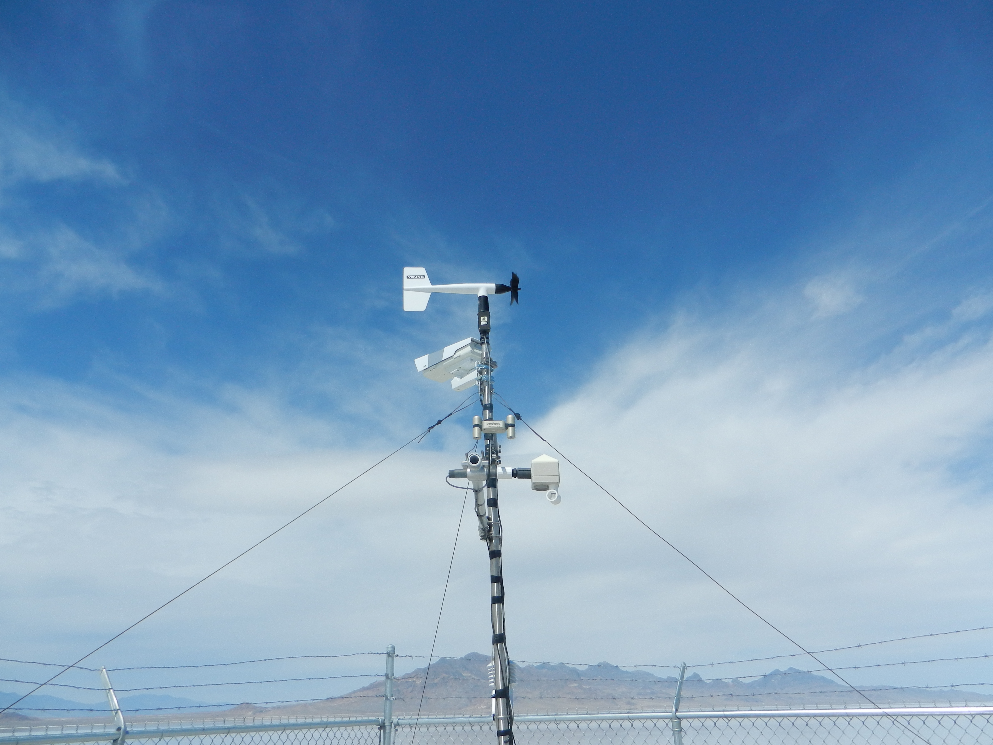
Apogee's SN-500 Net Radiometer was selected to help research the effect of changing surface albedos during flooding and desiccation cycles at the world-famous Bonneville Salt Flats. The SN-500 has performed excellently in this extreme environment since 2017 and the current readings are available by visiting https://mesowest.utah.edu/cgi-bin/droman/meso_base_dyn.cgi?stn=bflat. One of the researchers, Dr. John Horel, describes more about the project below:
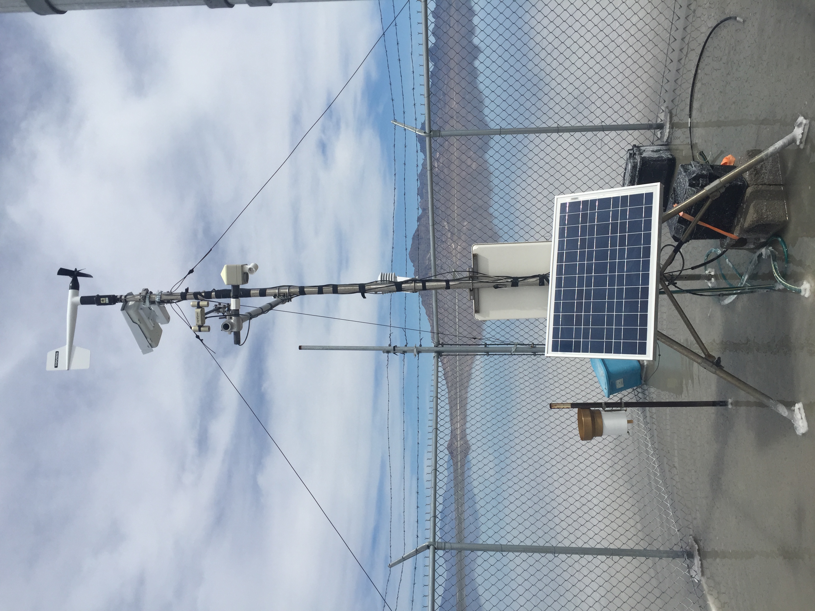
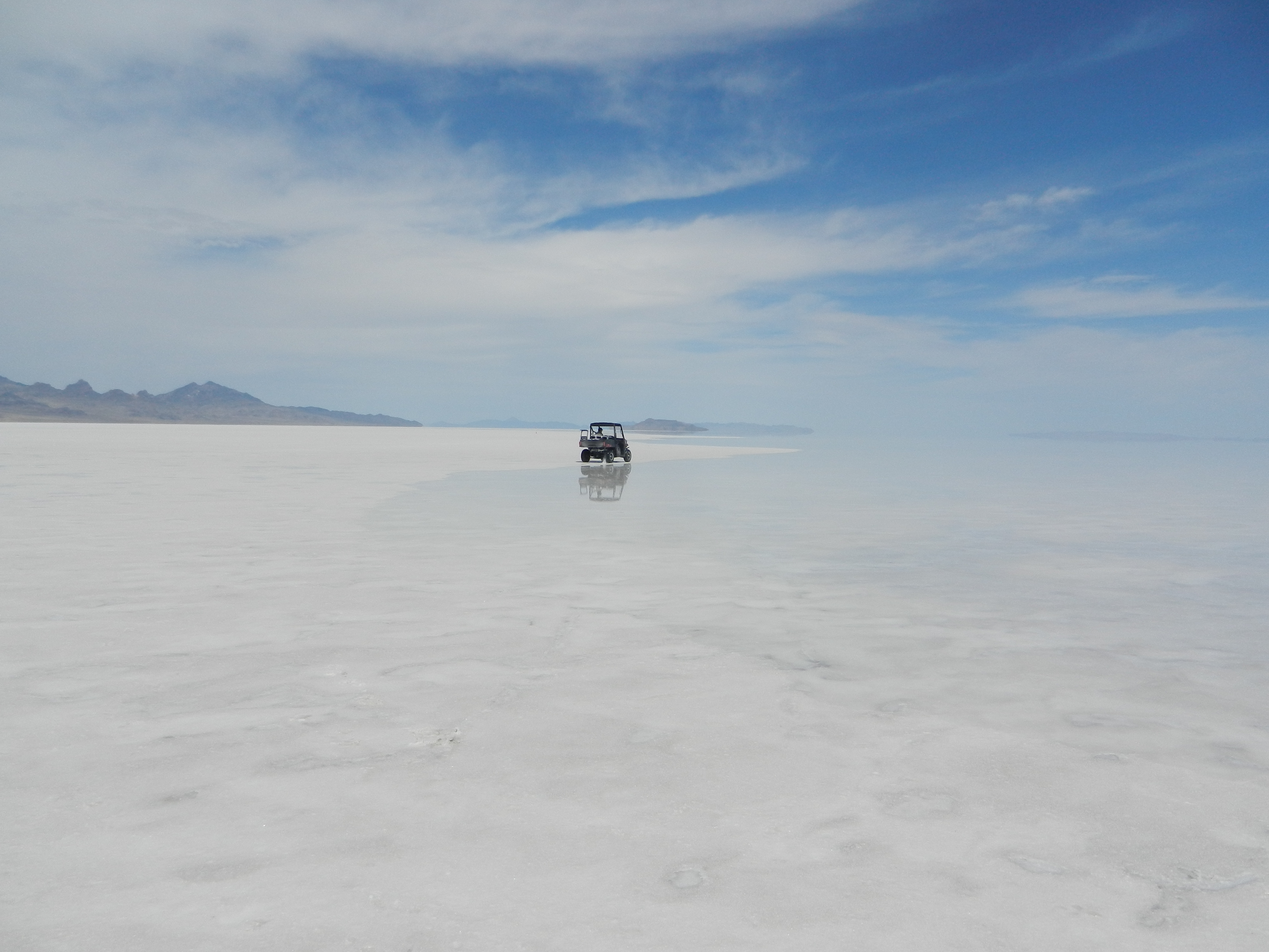
"The SN-500 was a critical addition to our weather station for a multidisciplinary study of the Bonneville Salt Flats in northern Utah (Craft and Horel 2019). The reduction in the depth of the salt layer during recent years has impacted the world-renowned speed racing events that happen during late summer on the Salt Flats."
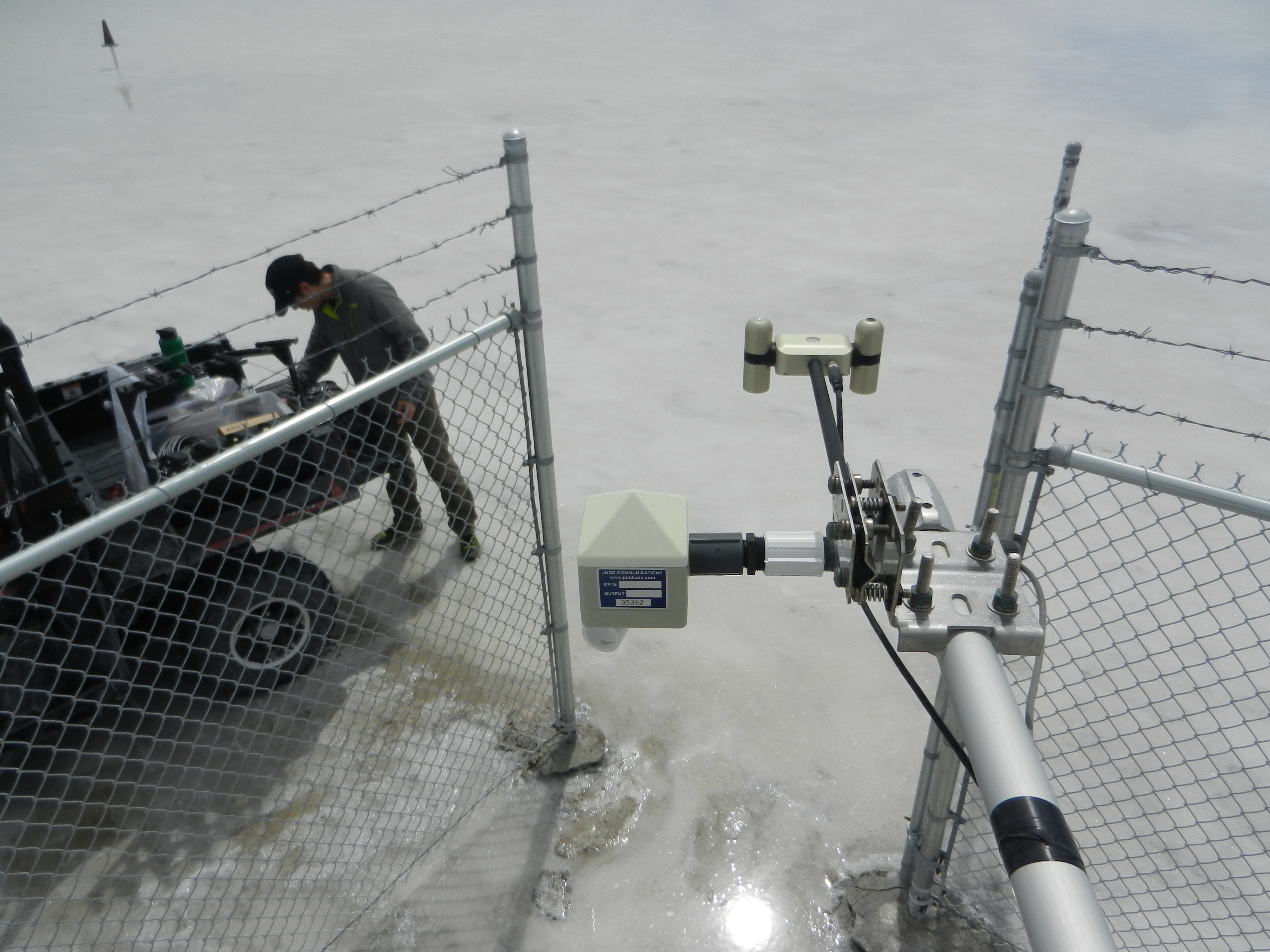
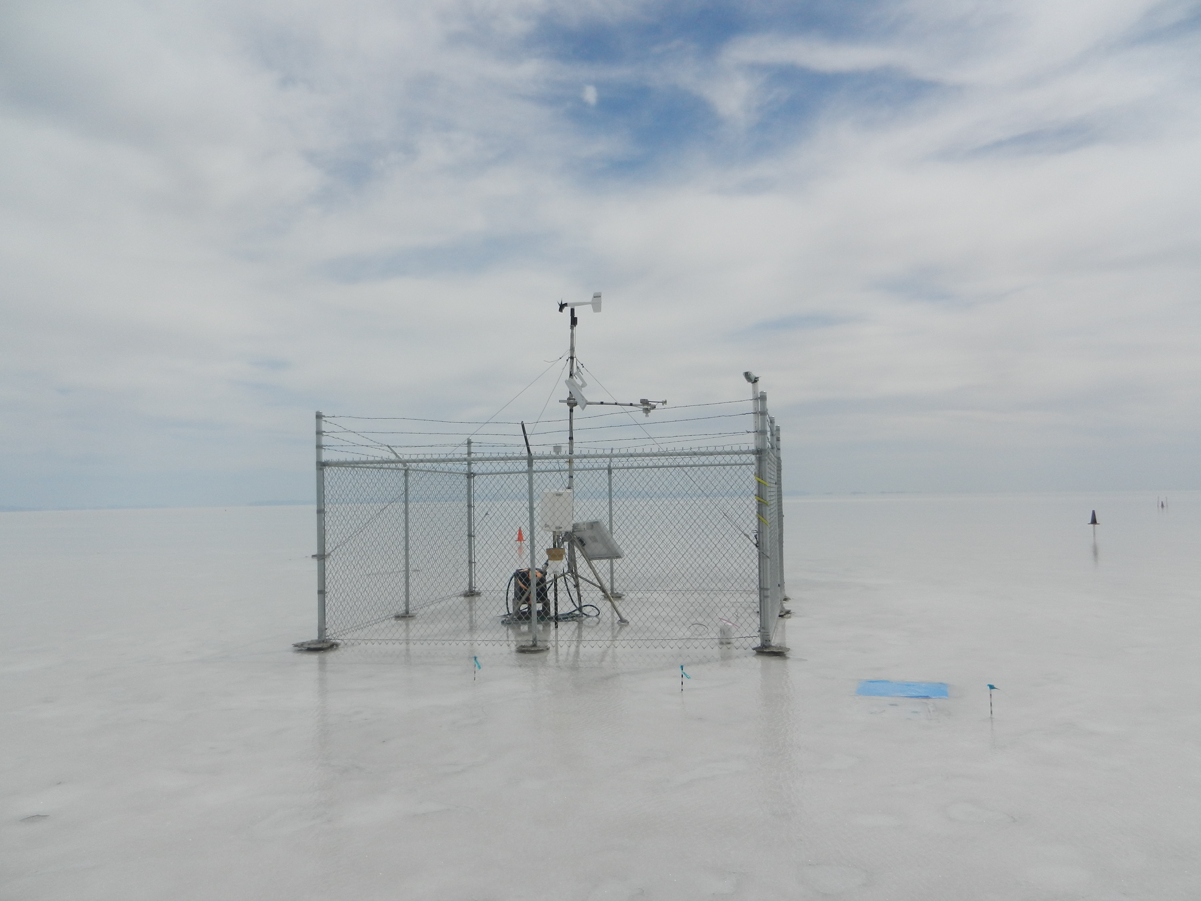
"The salt surface may have surface albedo over 40% when dry, but the albedo can be reduced abruptly to less than 20% when flooded by thin sheets of water that are common from Fall through late Spring that help foster salt crystal growth. The SN-500 has helped us monitor albedo and short- and long-wave radiation components continuously and validate satellite estimates of the fractional coverage of surface water over the Salt Flats. The low maintenance needs of the sensor and stability of its output have been very useful for our research at this remote site."
